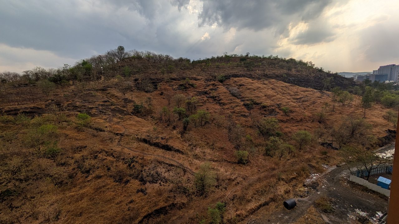
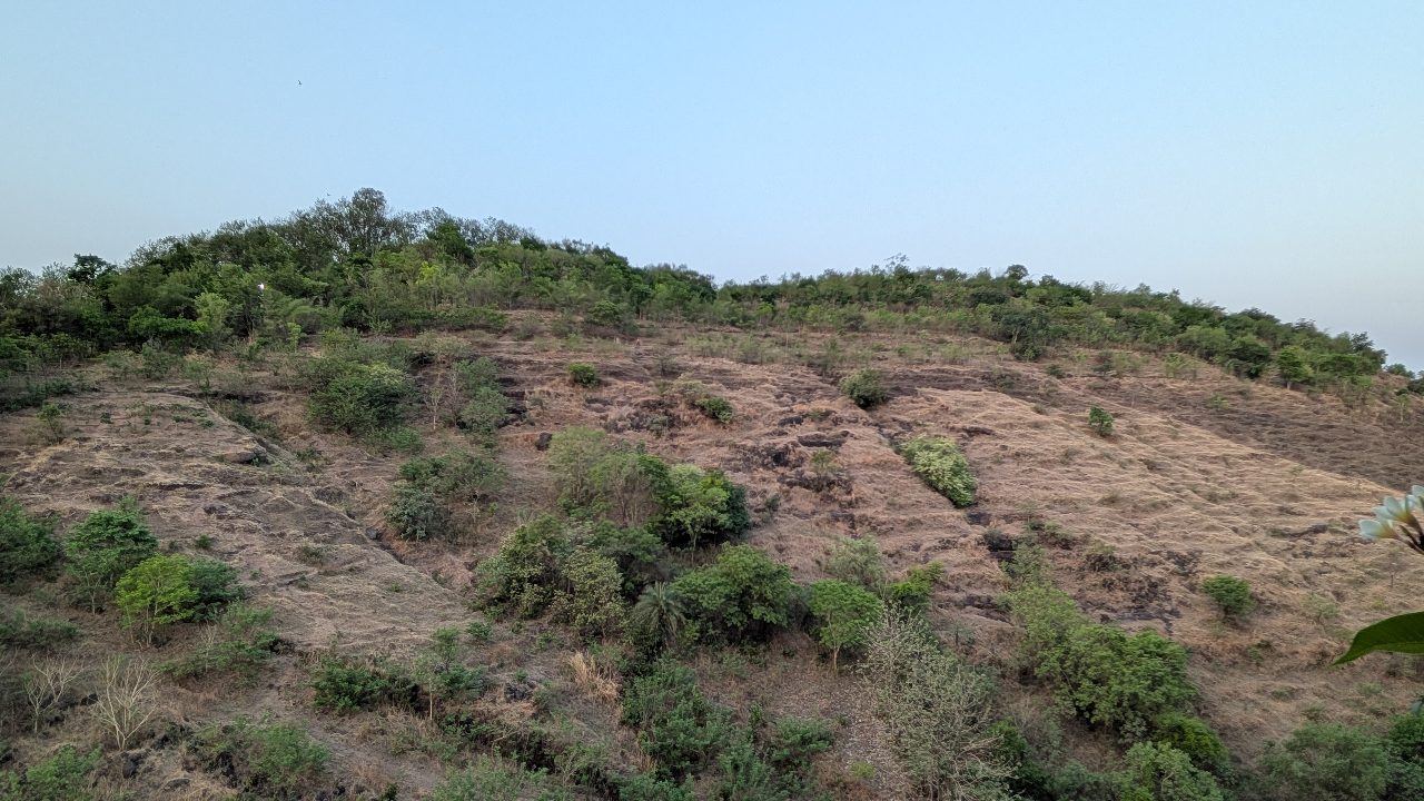
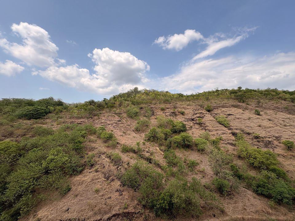
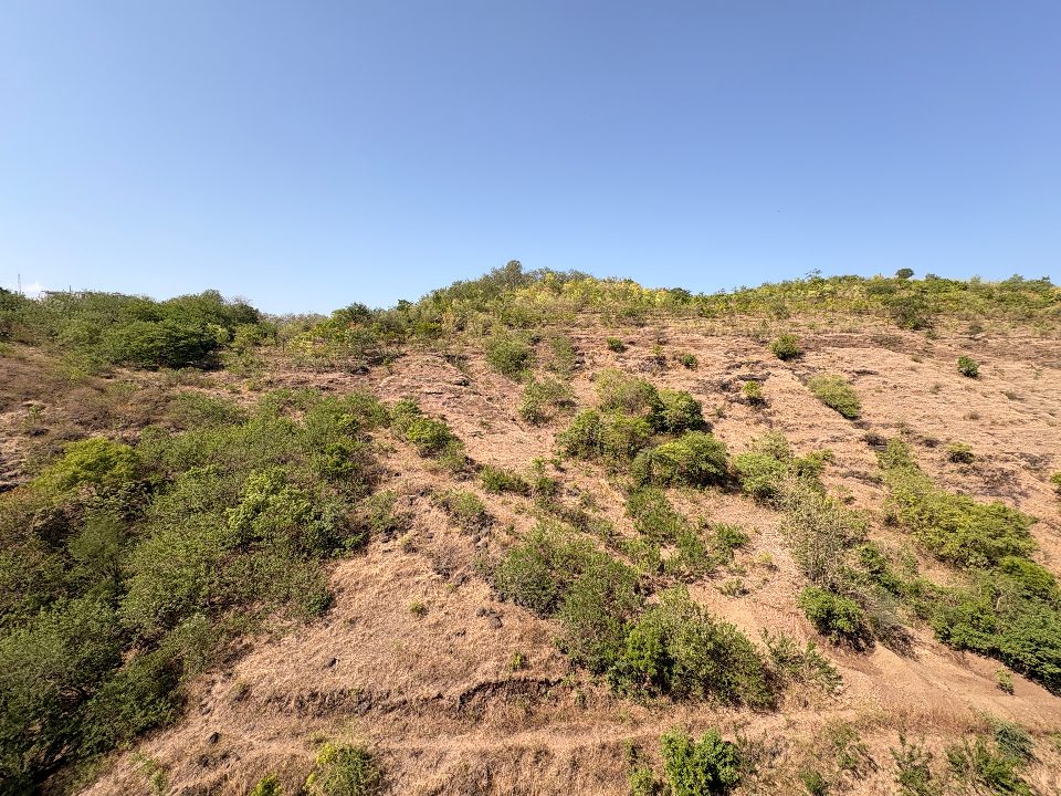
A couple of weeks ago, while standing in my balcony, I found myself looking at the south side of Baner Hill.
Even though it was peak summer, there were patches of green. But compared to the rest of the hill, this side looked dry, sparse and tired. I kept wondering if it had always looked like this, or if there was something we could do to help.
That simple thought sent me down a rabbit hole.
I started studying satellite imagery, vegetation maps and historical data to understand how healthy the hill really was. That's when I came across NDVI, one of the most widely used ways of measuring vegetation from space.
 NDVI of Baner Hill. Non-Shaded region is under the Forest Department


What is NDVI?
NDVI stands for Normalised Difference Vegetation Index.
Healthy plants absorb most of the visible red light for photosynthesis and reflect a large portion of near-infrared light. Satellites can measure both these wavelengths.
Using those measurements, NDVI is calculated as:
(Near Infrared − Red) ÷ (Near Infrared + Red)
The result ranges from -1 to +1.
- Values close to 1 indicate dense, healthy vegetation.
- Around 0.5 to 0.7 usually represents mature forests.
- Values near 0.2 to 0.3 indicate sparse vegetation or grassland.
- Values close to 0 or below generally represent bare ground, buildings or water.
It isn't a measure of the number of trees. Instead, it measures how actively vegetation is growing and how healthy it is.
When I looked at Baner Hill, the numbers were both encouraging and worrying.
The hill's current dry-season NDVI is 0.278.
During the monsoon it reaches around 0.480, showing just how much life is waiting beneath the surface.
Our long-term goal is to reach a dry-season NDVI of 0.55, which would represent a healthy secondary forest.
The difficult part?
At the current pace of volunteer-driven restoration, the hill is expected to reach that level only around 2080.
More about the project and the data can be found at earth-pulse.org/hill.
Once I understood this, I couldn't stop thinking about it.
Around the end of May, I shared these findings with a few residents in our community. I showed them the maps, the satellite data and the vision for the south slope. The response was far more positive than I had expected.
And today, that idea finally became action.
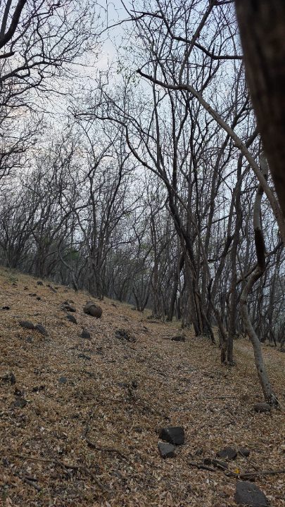
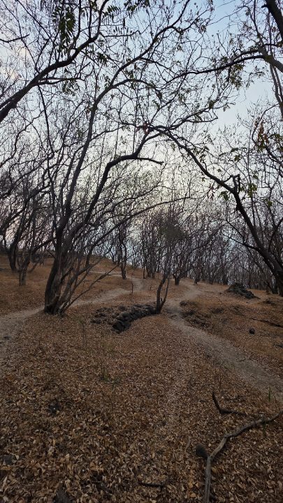
Around 10 of us gathered on Baner Hill early in the morning with gloves, spades and plenty of enthusiasm.
Over the next two and a half hours, we dug 3 to 4 new contour trenches and revived two older trenches that had slowly disappeared over time.
 a contour trench
It wasn't glamorous work.
The ground was hard. There were plenty of rocks. The sun became stronger with every passing hour.
But every trench we dug has a purpose.
During the monsoon, these trenches slow down rainwater, allow it to soak into the ground instead of rushing downhill, reduce soil erosion and create better conditions for native trees to survive. A trench dug today can quietly support life for years to come.
Baner Hill stands 678 metres above sea level, making it the third highest point within Pune city limits. More importantly, it sits on the edge of the Western Ghats, one of the world's eight hottest biodiversity hotspots and a UNESCO World Heritage landscape that is older than the Himalayas.
These mountains occupy less than 6% of India's land area, yet they support nearly 30% of the country's plant, bird, fish, reptile, amphibian and mammal species.
Satellite NDVI timelapse — 5 years × 6 same-month snapshots — will appear here, powered by Planet Labs imagery, showing how Baner Hill's vegetation has changed season by season.